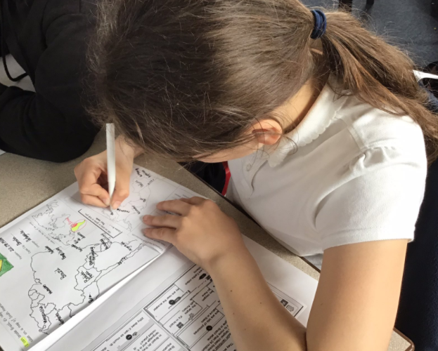
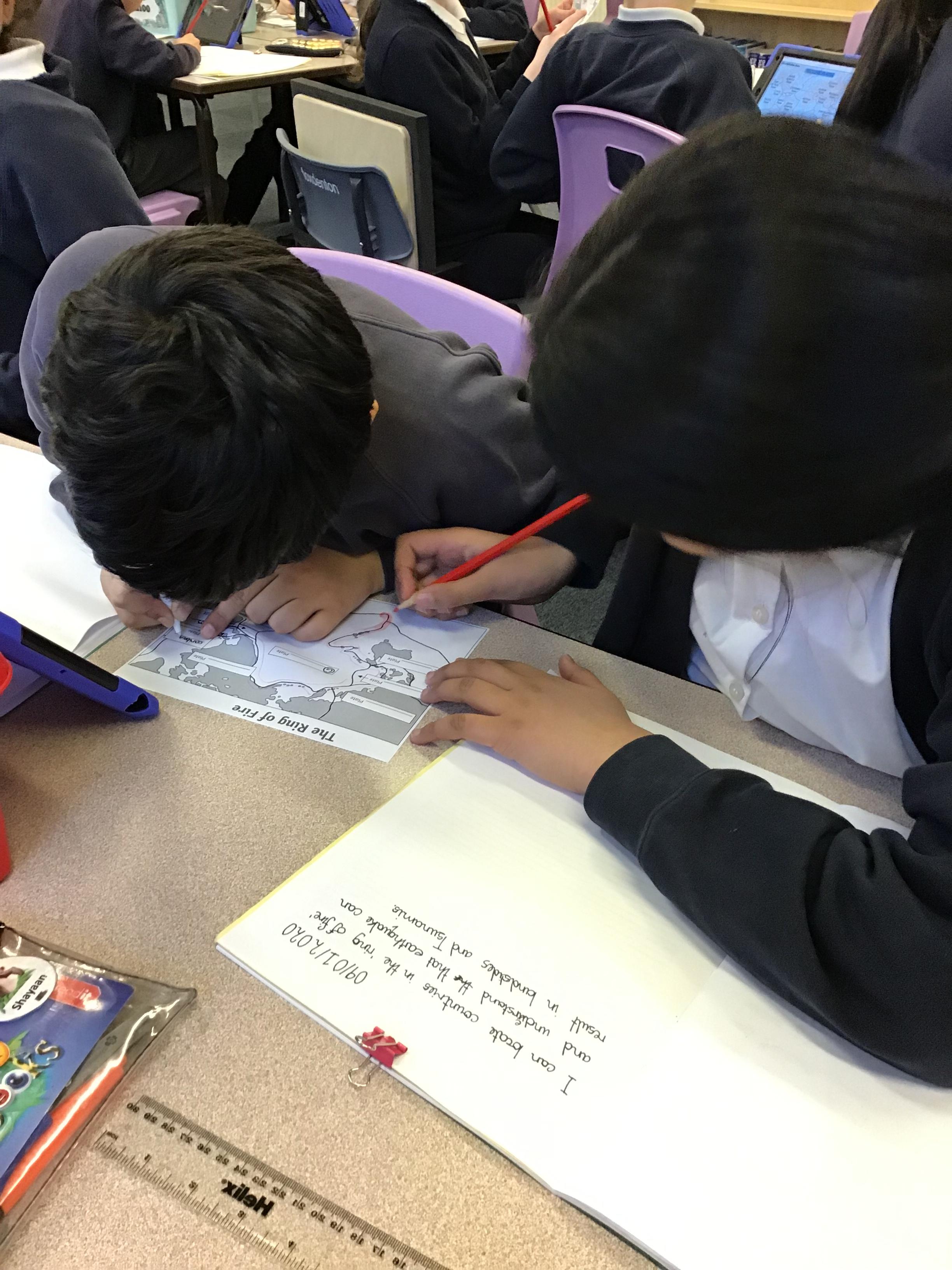
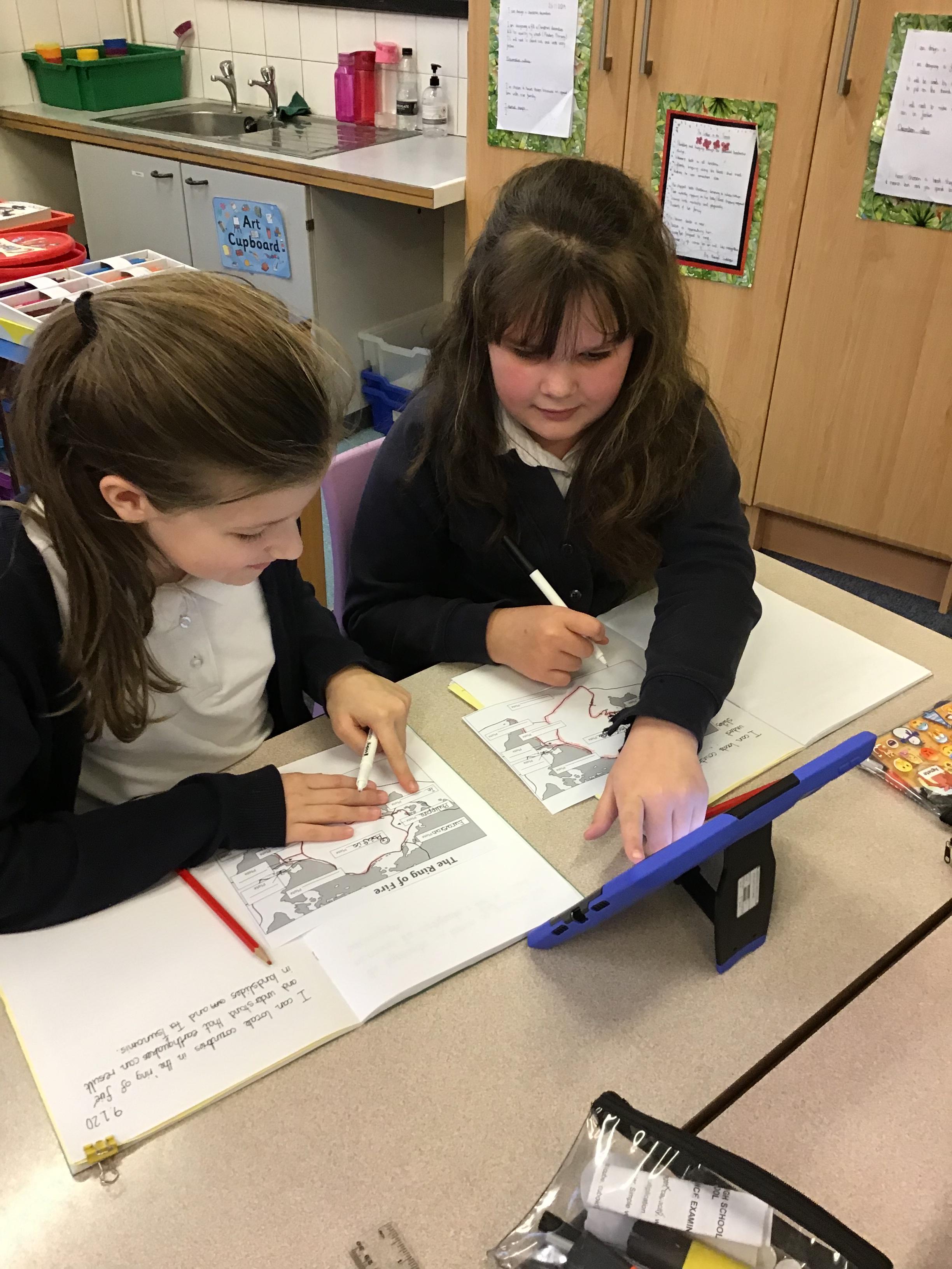
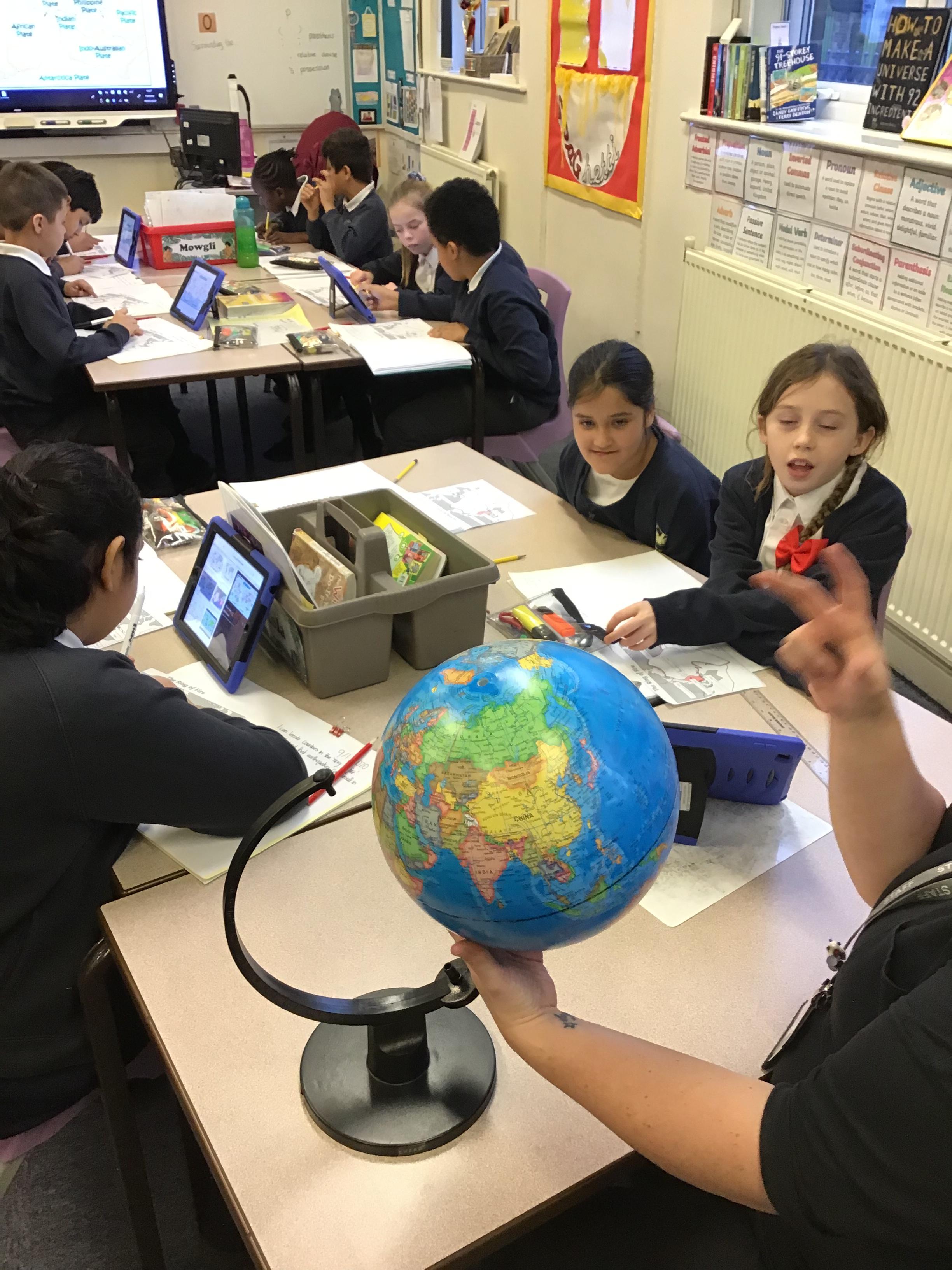
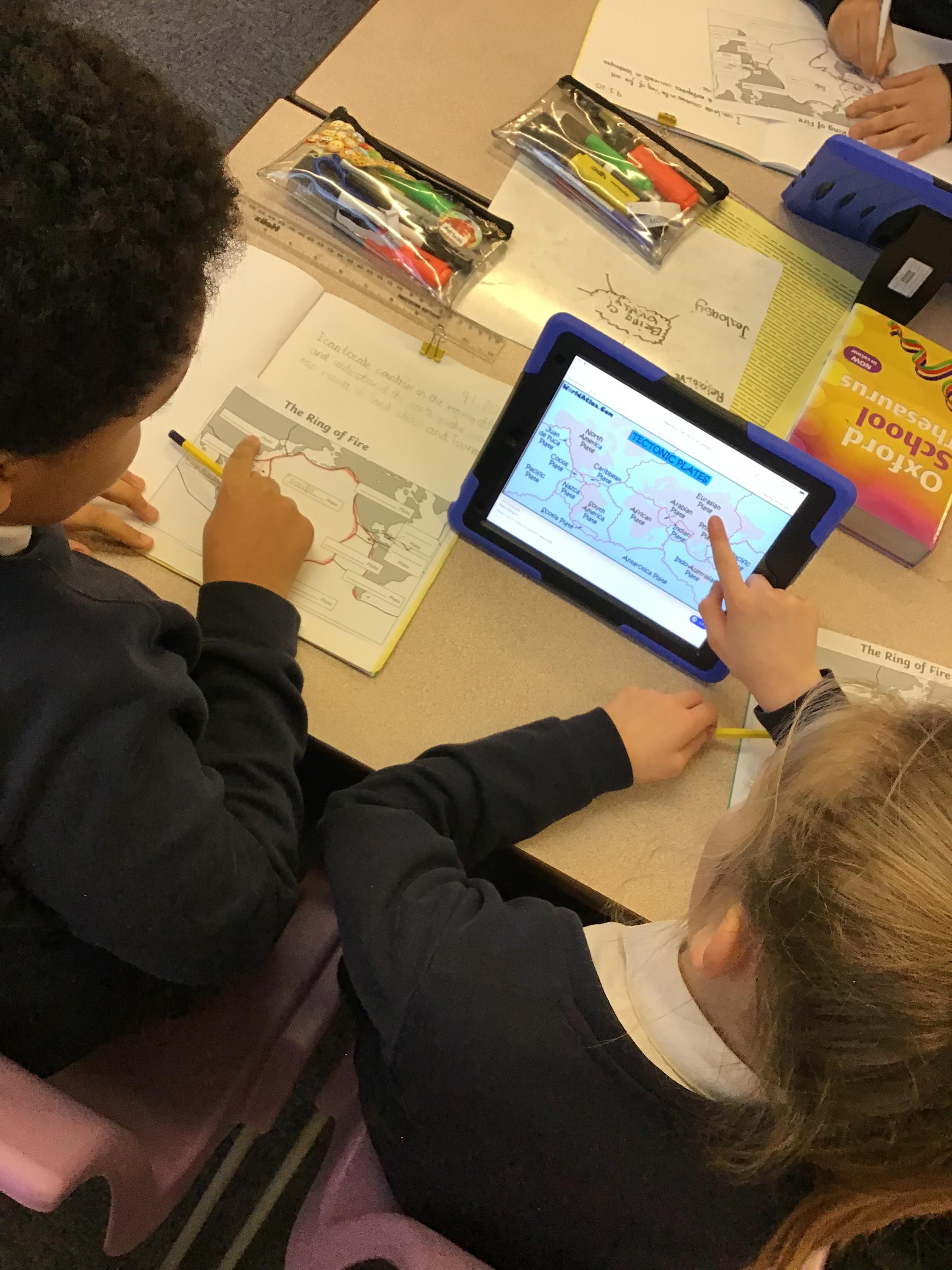
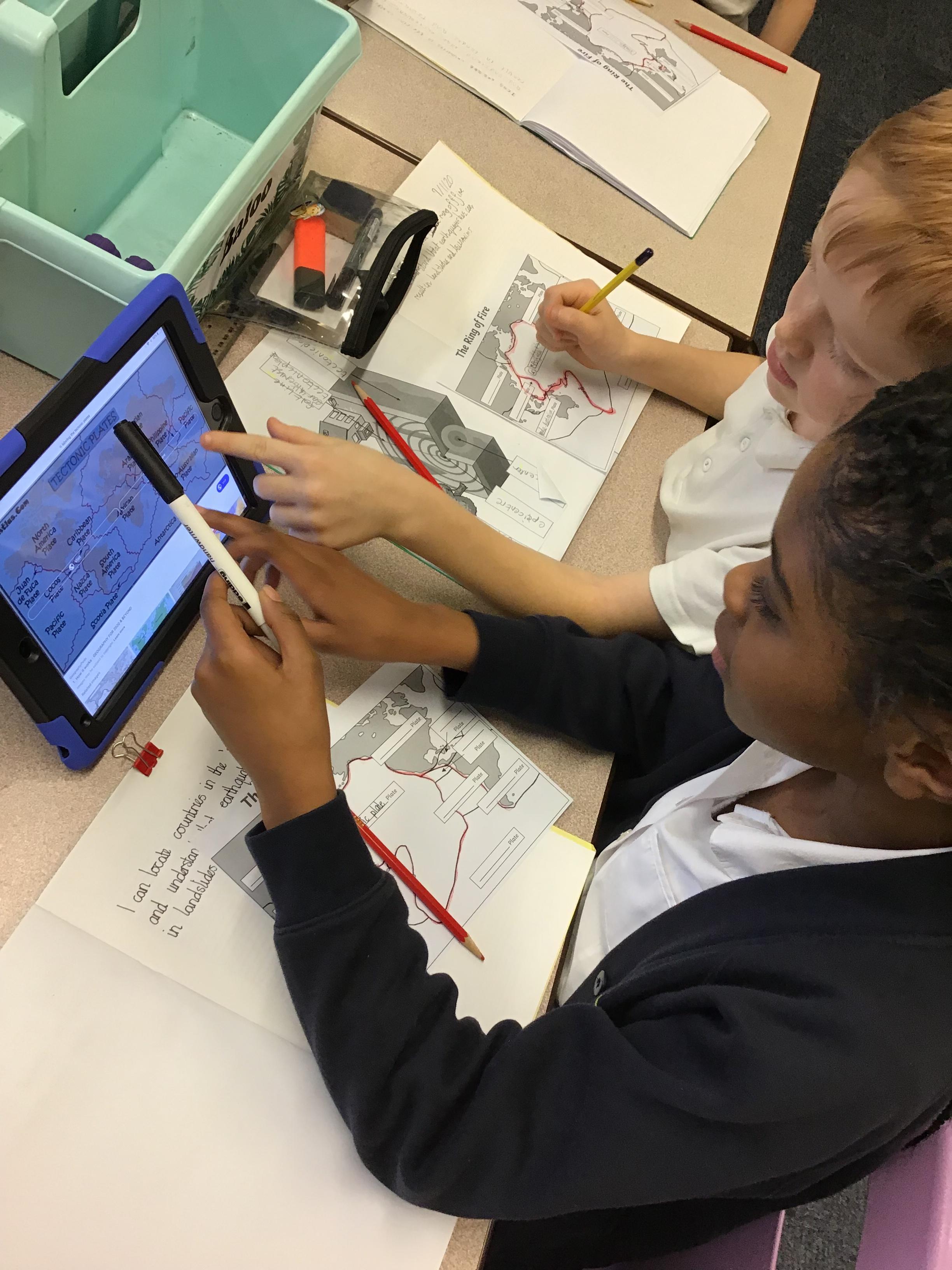
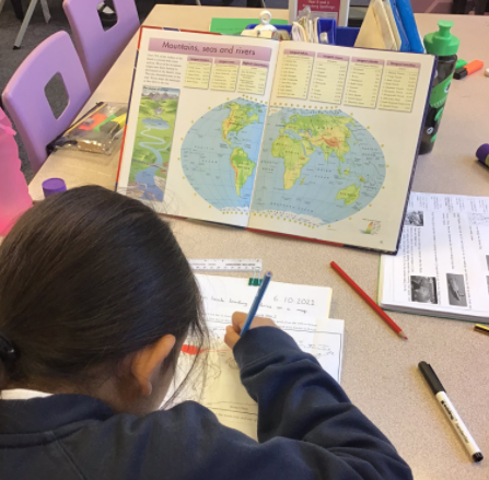
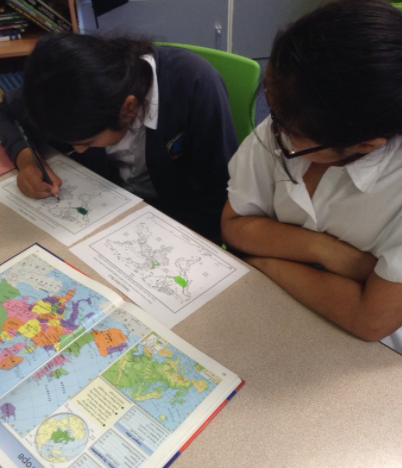
Year 5 have been discovering what tectonic plates are during geography. We located the ring of fire as well as some countries, which have been affected by natural disasters.
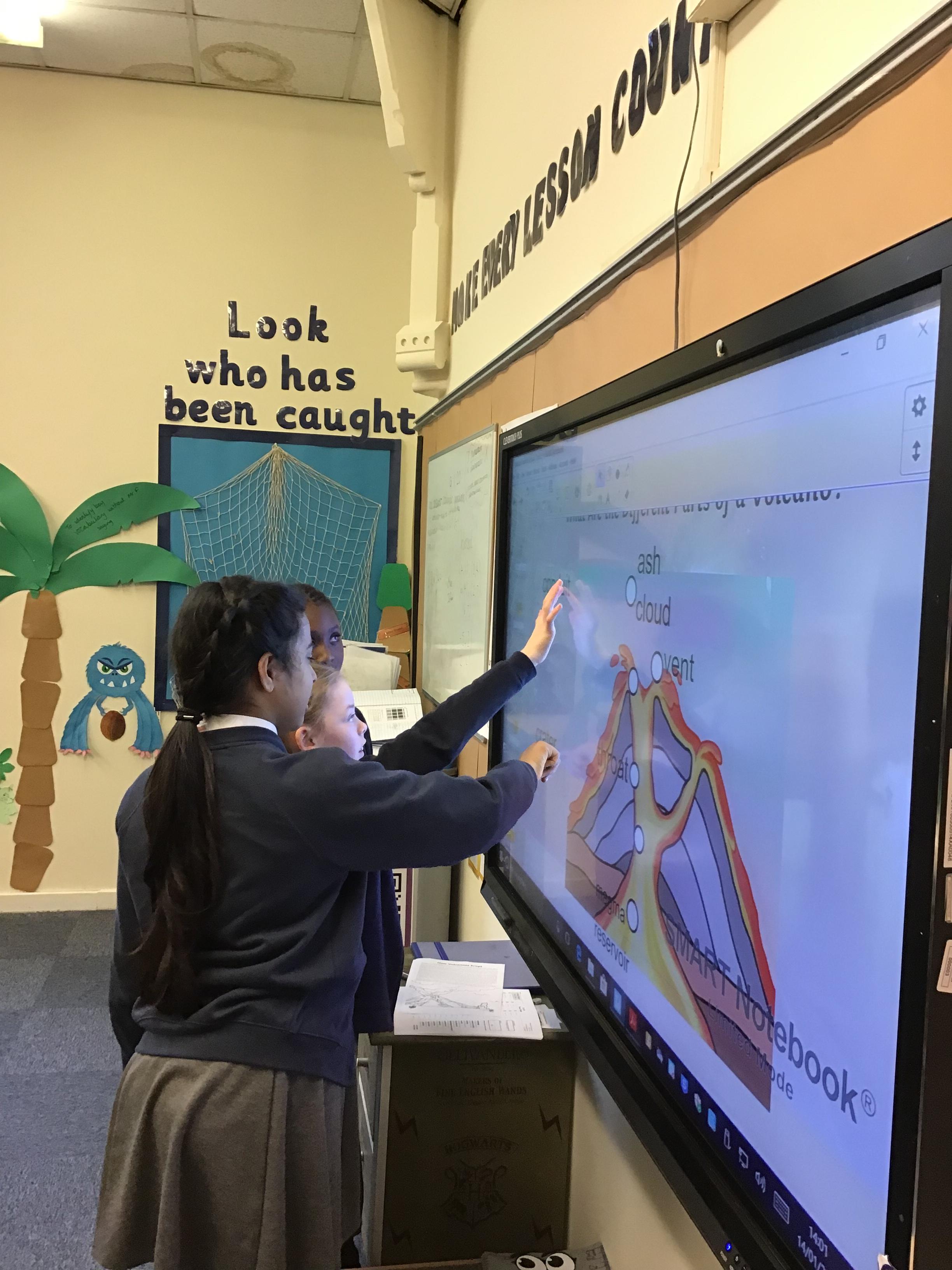
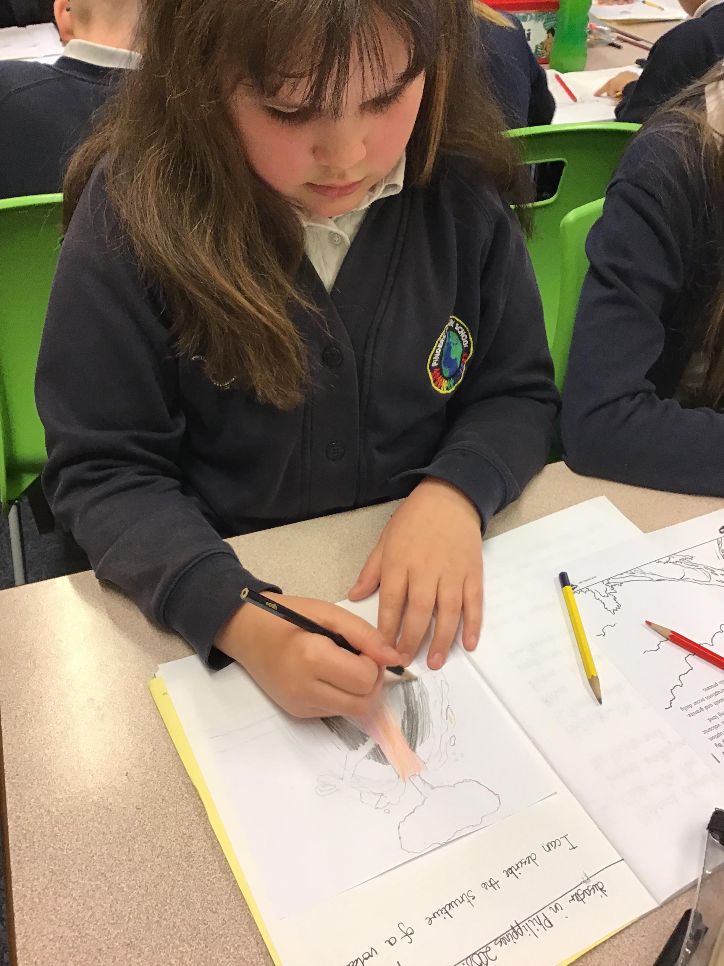
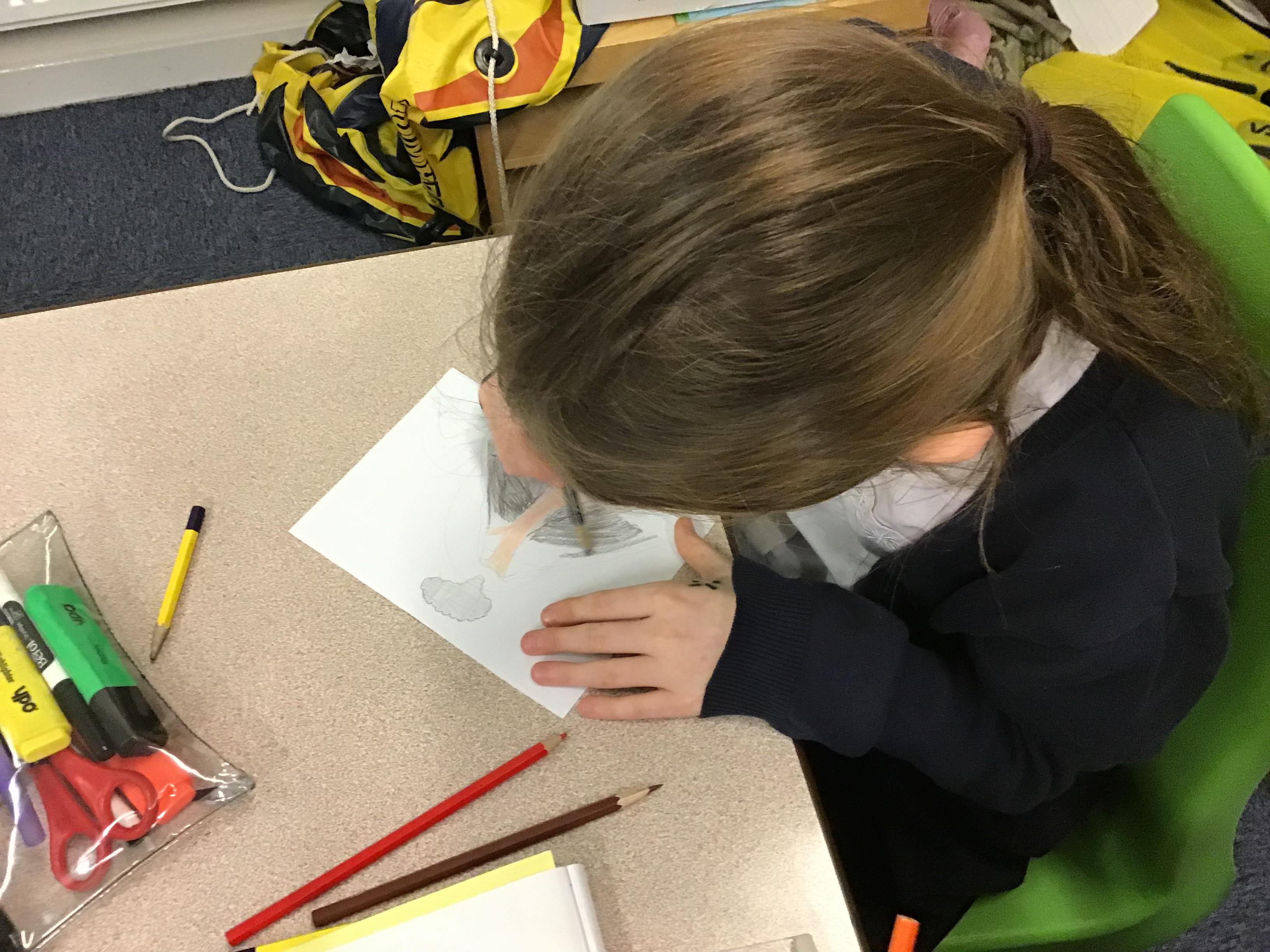
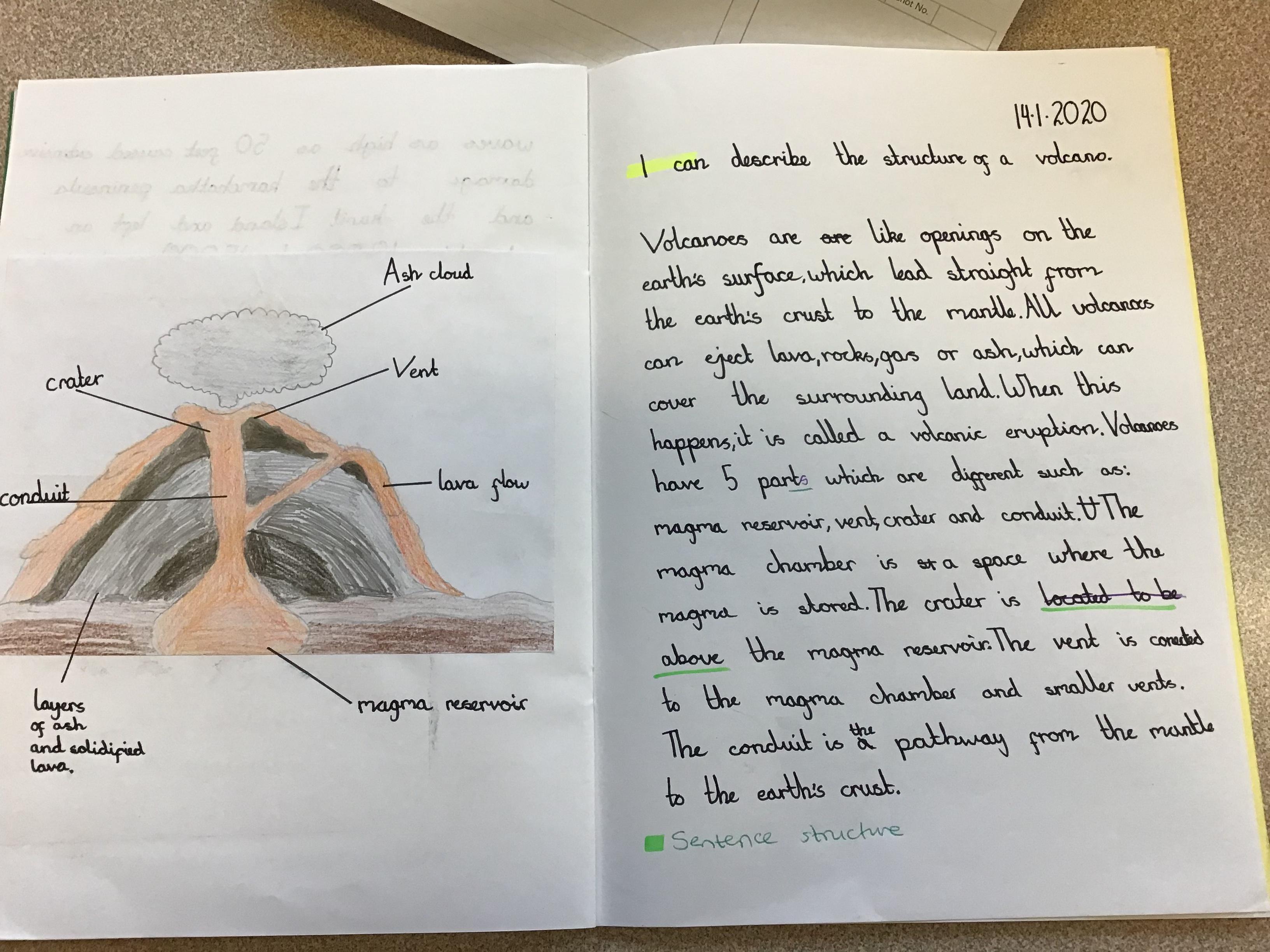
After recapping on the layers of the earth and tectonic plates, Year 5 began learning about volcanoes. We were able to label the different parts of a volcano, which we used to create our own diagrams and explanations of a volcano.
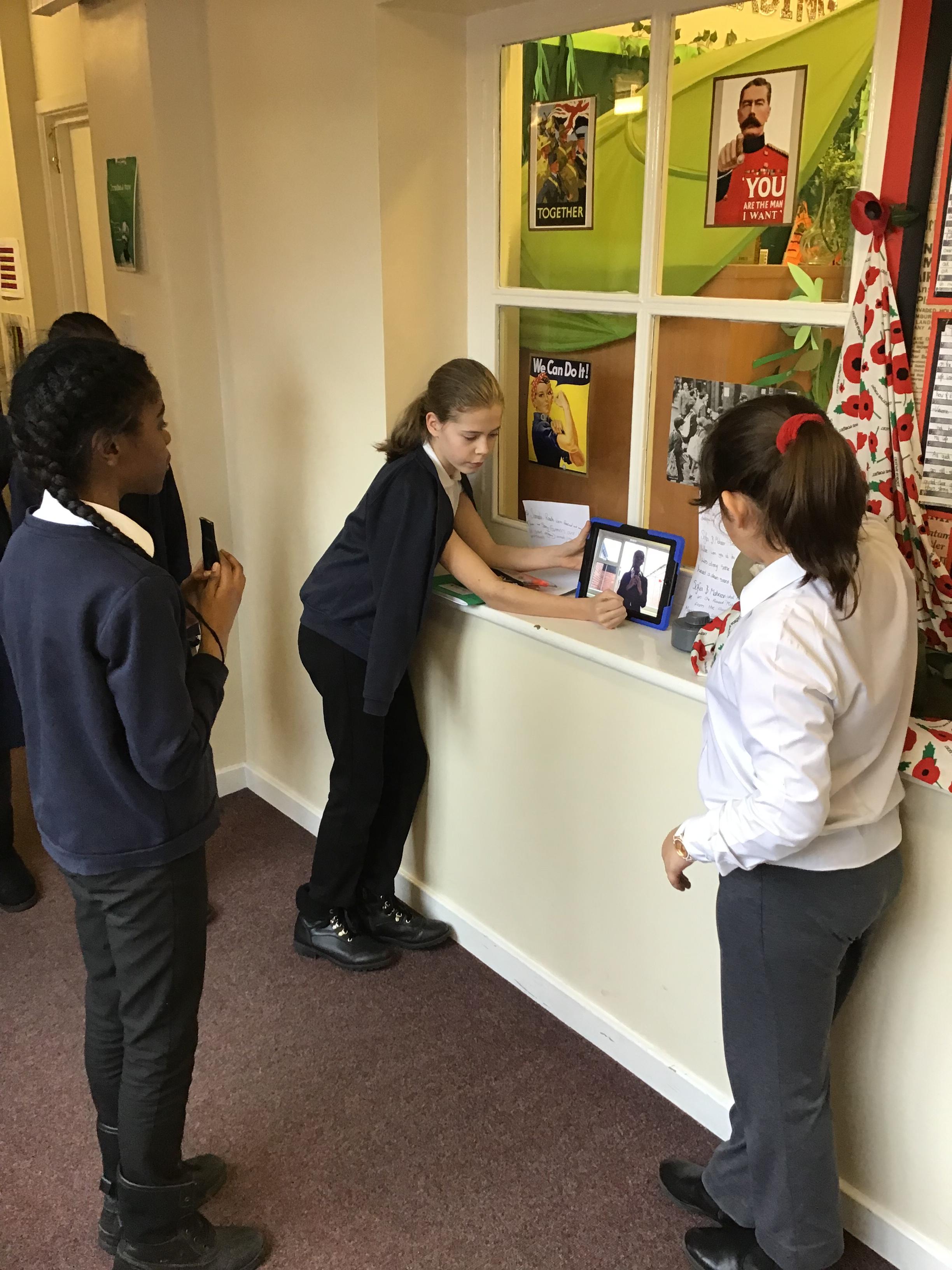
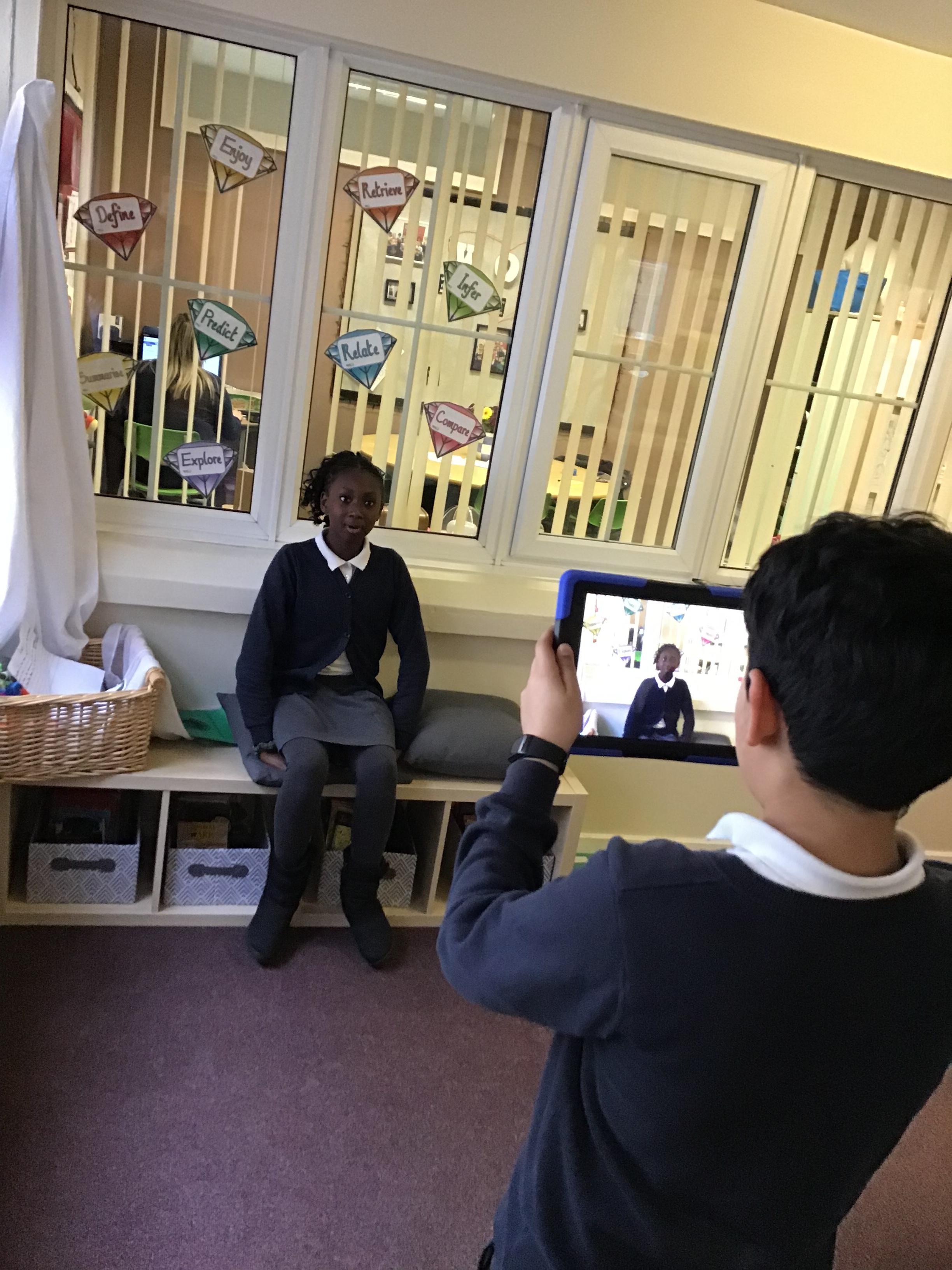
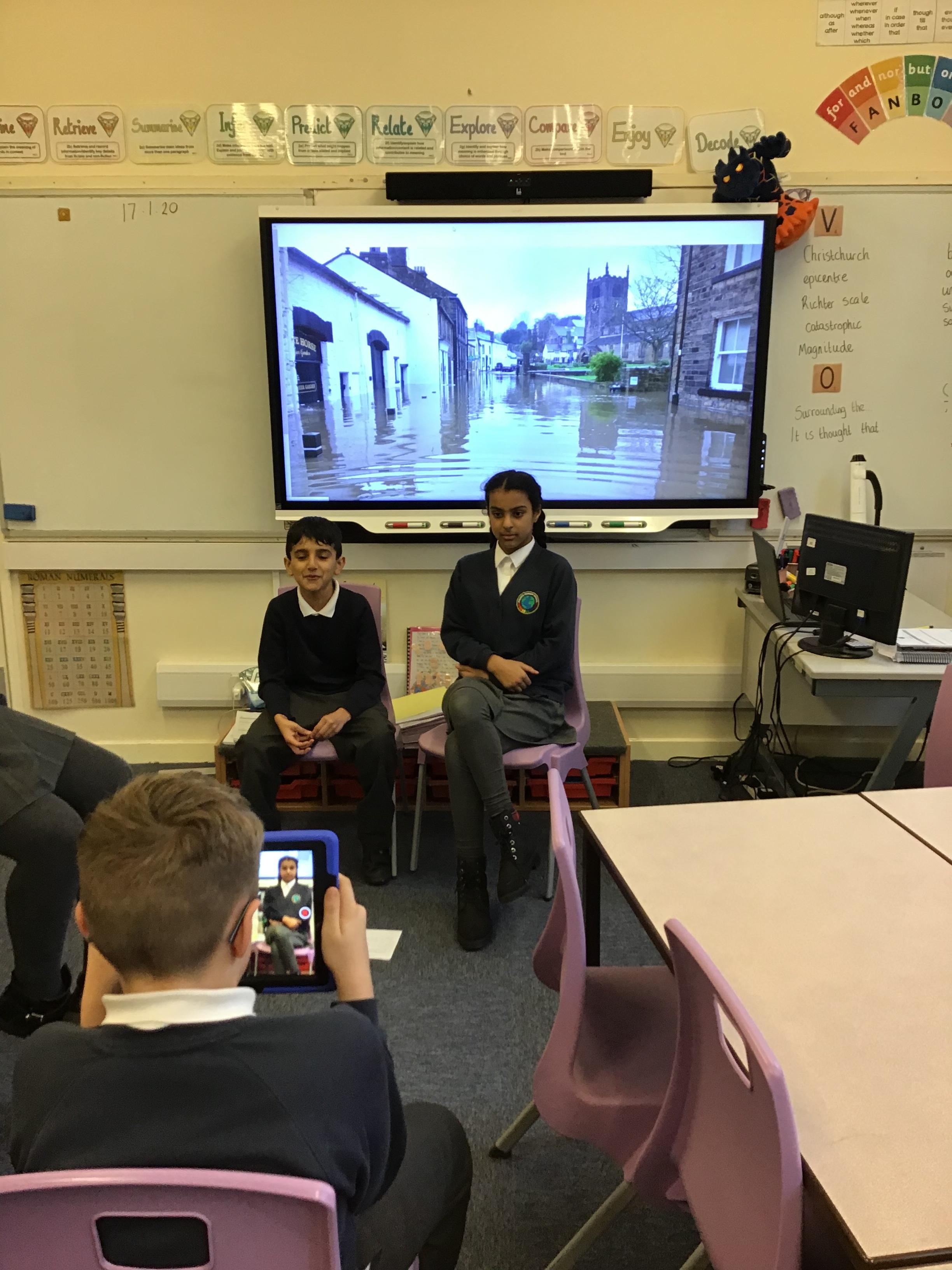
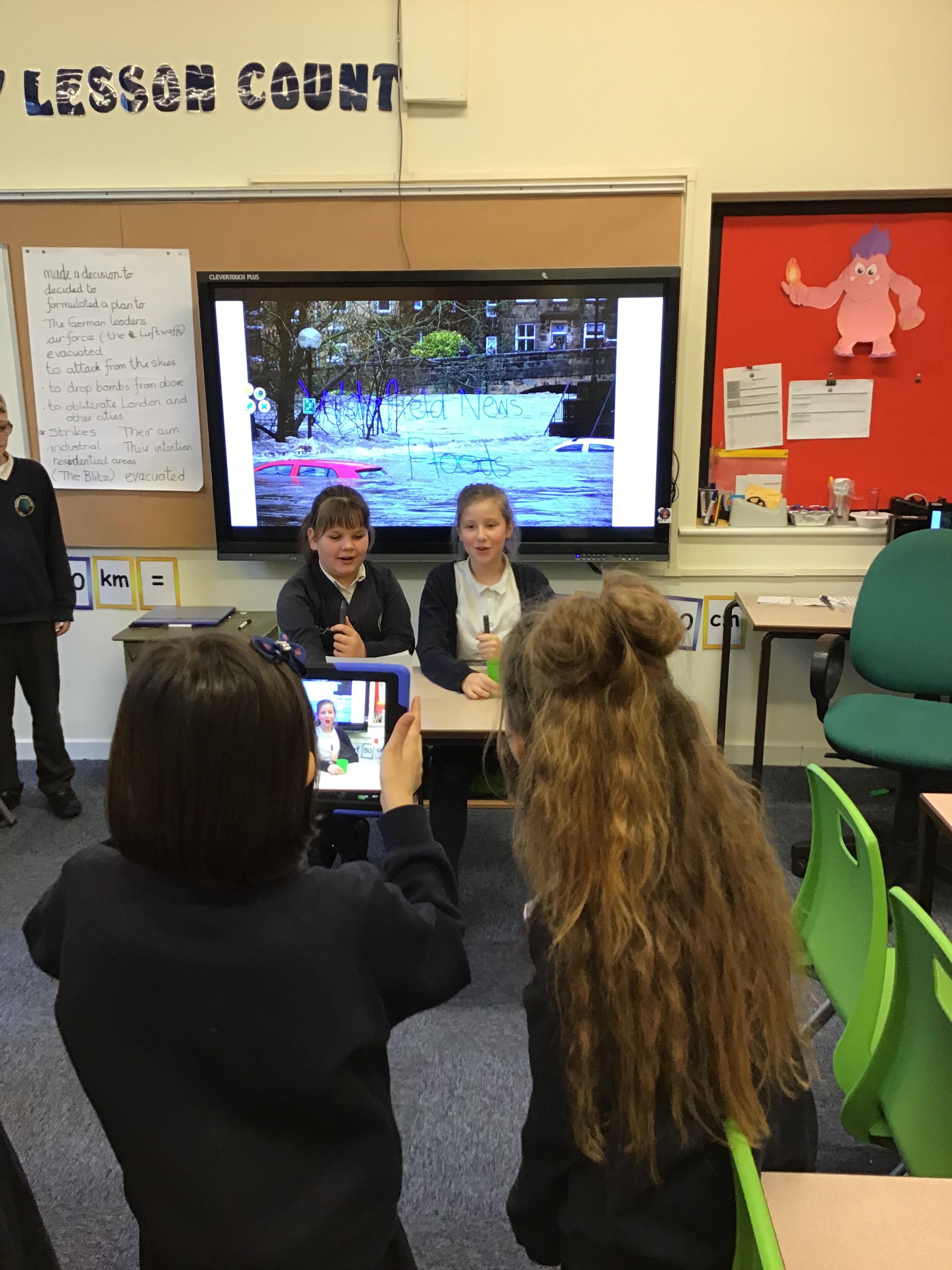
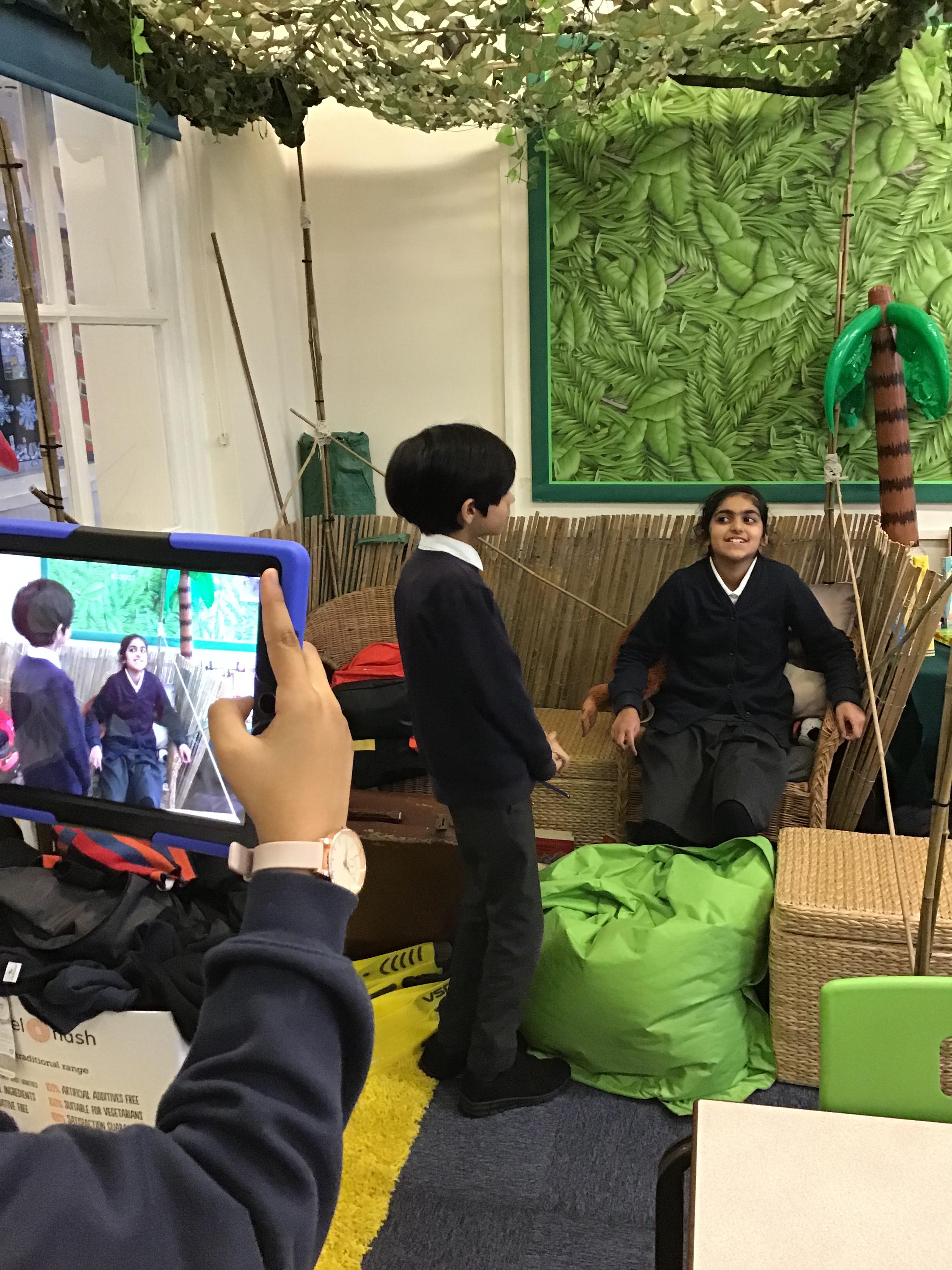
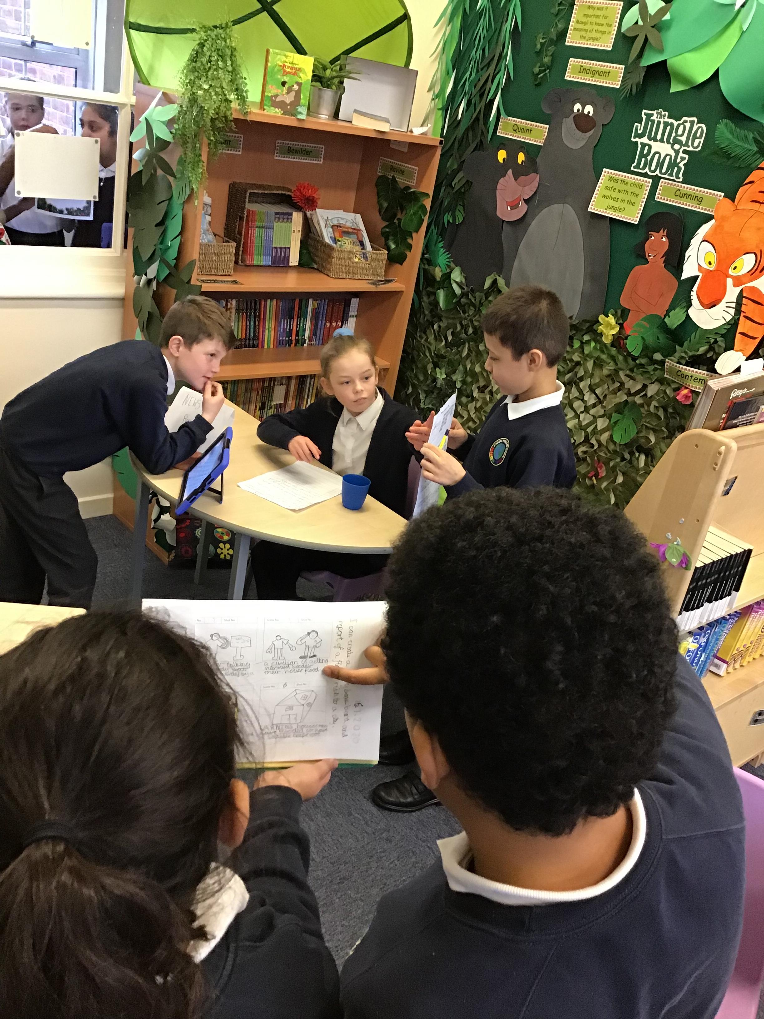
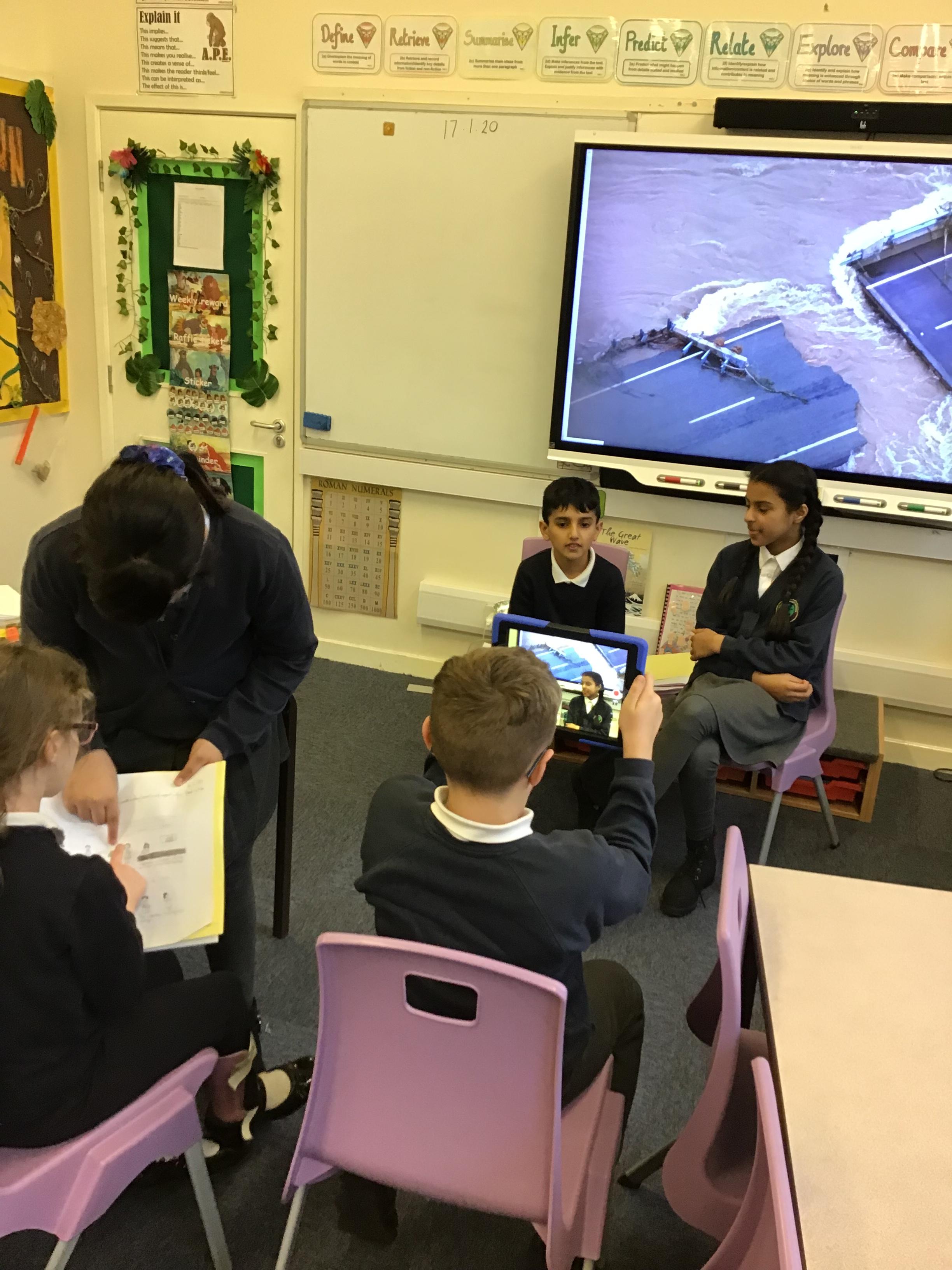
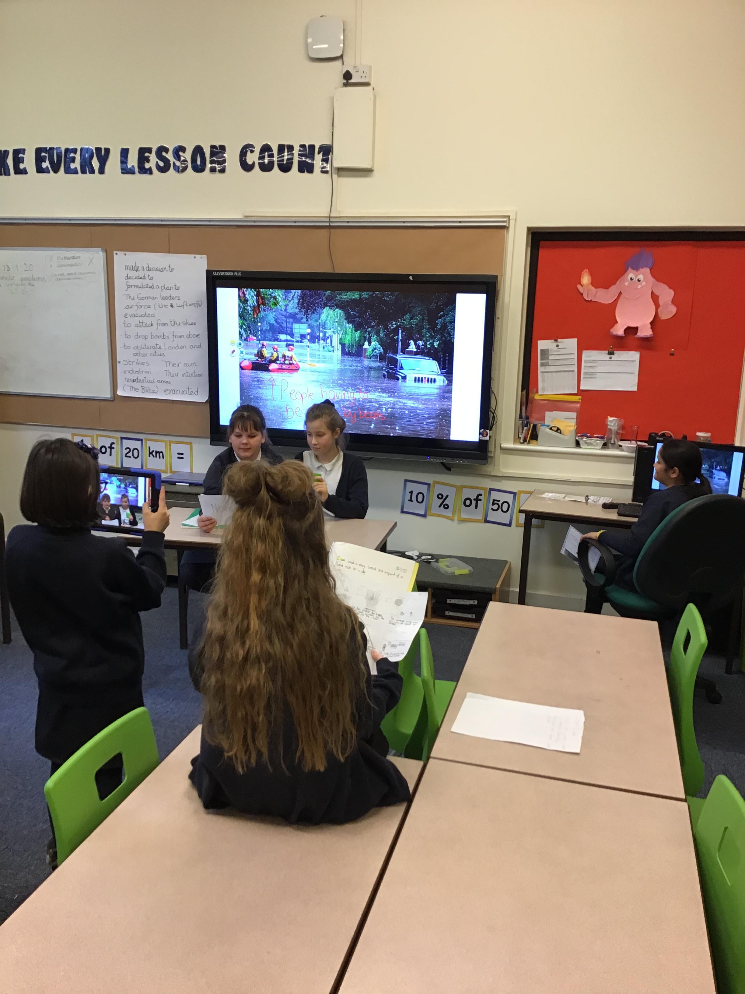
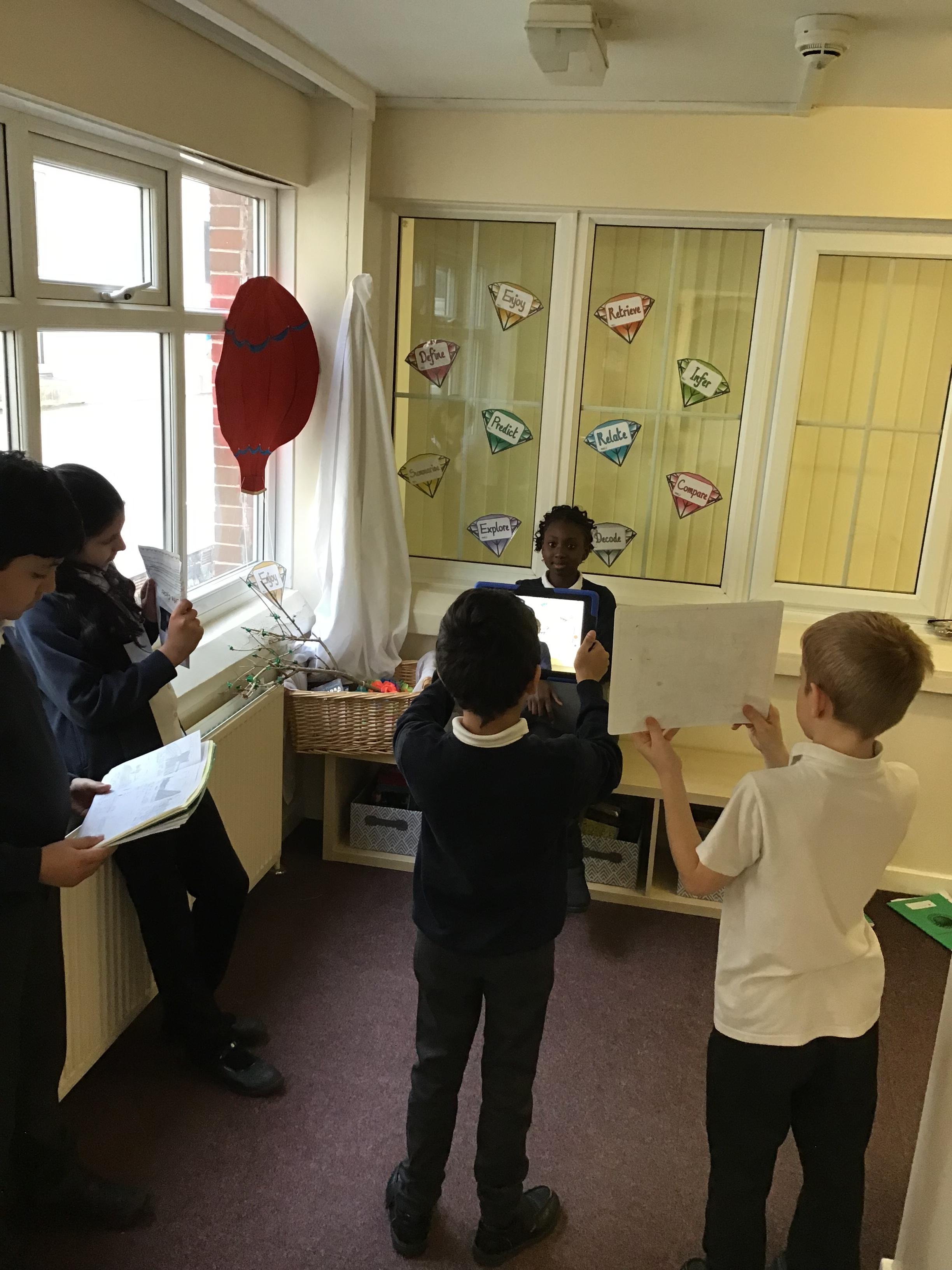
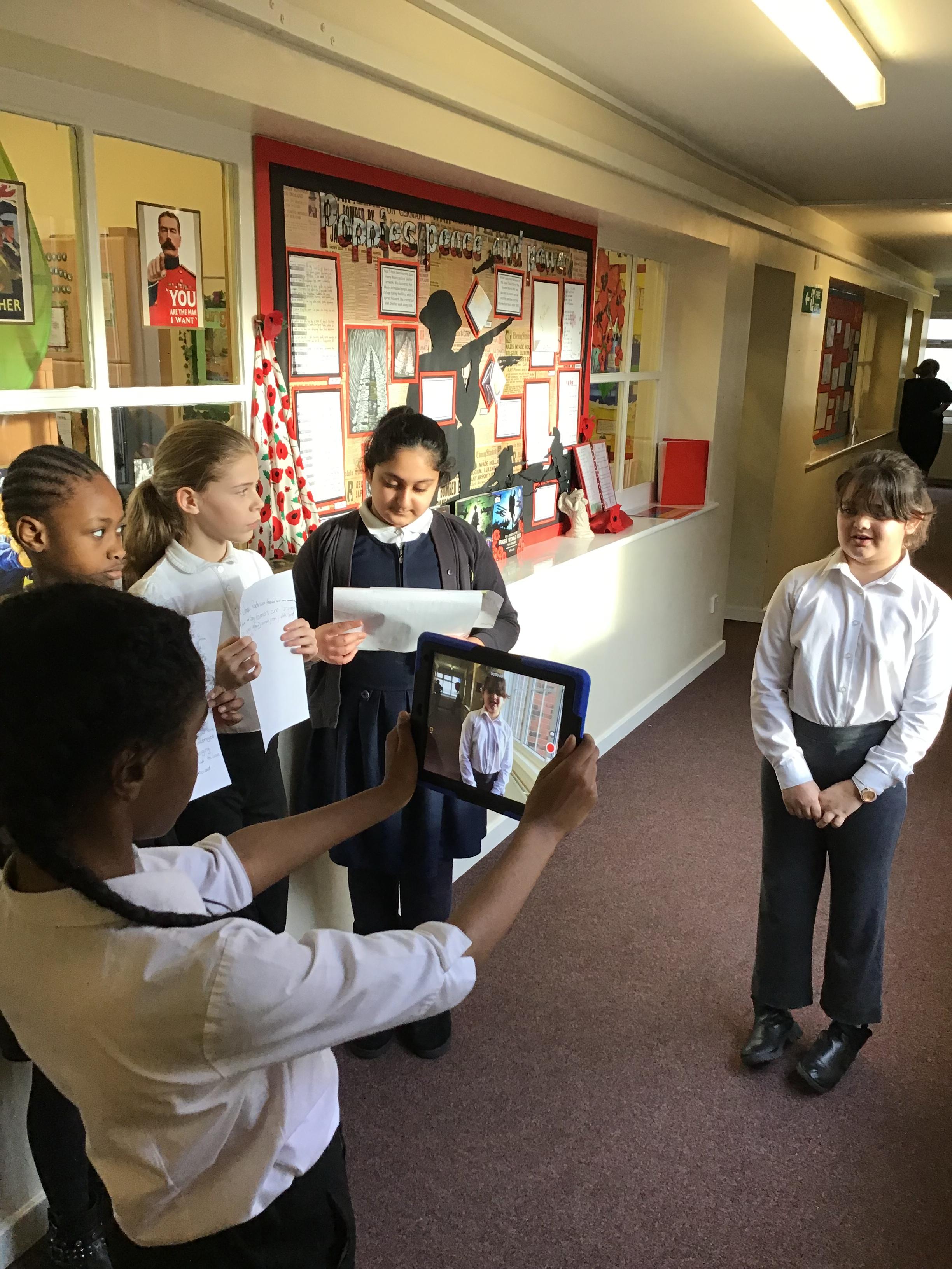
Year 5 have been researching floods as part of our natural disasters geography sessions. This afternoon, we pieced together the information and eye-witness statements we have retrieved to create our own news reports.
Year 5's flood reports.
You have not allowed cookies and this content may contain cookies.
If you would like to view this content please
You have not allowed cookies and this content may contain cookies.
If you would like to view this content please
You have not allowed cookies and this content may contain cookies.